Drone Photography: The Ultimate Guide for Real Estate
.jpeg)
In this comprehensive guide, we will walk you through the essential steps to succeed with real estate aerial photography. We break down everything you need to know to master the art of capturing aerial shots for real estate marketing. From understanding airspace regulations to selecting the right equipment and getting all the right angles, we've got you covered.
No comprehensive guide would be complete without an index, allowing you to easily navigate to the specific information you need. Below, you'll find a detailed index of the topics covered in this ultimate guide to real estate drone photography:
Index:
- Introduction
- How can a real estate photographer benefit from using drones?
- Which properties benefit from aerial drone photography?
- Selecting the Best Drones for Real Estate Photography
- Operating Requirements
- Registering your drone
- Obtaining a Remote Pilot Certificate
- How to Prepare Real Estate Listings for Drone Photography
- Optimal Weather Conditions for Drone Photography
- What time of day is best for drone photography?
- How to Capture All the Necessary Angles
- Aerial Drone Photography Pricing
Introduction
As cell phone cameras have become more advanced, real estate professionals now have access to high-quality cameras right in their pockets. They can easily snap a few shots of their property listing and call it a day.
To truly stand out, real estate photographers must be able to deliver something beyond the ordinary.
Incorporating drone photography into your repertoire can have a substantial impact on your business. Given the specialized skill set and level of experience needed to capture aerial images, offering this service can help you win more business and command higher rates.
How can a real estate photographer benefit from using drones?
Real estate photographers benefit in various ways by incorporating drones into their photography toolkit. Here are some key advantages:
1. Expanded Services: By offering drone photography services, real estate photographers can diversify their offerings and attract a broader range of clients. This allows photographers to tap into the growing demand for aerial imagery in the real estate industry.
2. Unique Perspectives: Drones provide photographers with the ability to capture eye-catching visuals and showcase properties to their best advantage. The dramatic perspectives help photographers stand out and leave a lasting impression.
3. Increased Demand: Aerial photography has become increasingly popular in the real estate market. Many clients now specifically request aerial shots to showcase the property's size, location, and surrounding environment. Aerial photographers can leverage their added level of experience to expand their client base.
4. Enhanced Visual Appeal: Aerial photography adds a sense of grandeur and scale to real estate photos, making them more visually appealing. The wide-angle views captured by drones can showcase the entire property, emphasizing its features, layout, and surroundings, ultimately attracting prospective buyers.
5. Highlighting Property Features: Drones allow photographers to capture close-up shots of unique property features that may be difficult to showcase from the ground. This includes architectural details, outdoor amenities, landscaping, and more. By highlighting these distinctive elements, photographers can help clients effectively market their properties.
6. Competitive Advantage: Real estate photographers who offer drone photography services gain a competitive edge in the industry. High-quality aerial images and videos set their work apart from traditional real estate photos, making listings more attractive to potential buyers. This can lead to increased client satisfaction, more referrals, and a stronger professional reputation.
7. Creative Storytelling: Drones enable photographers to create engaging and immersive property videos by combining aerial footage with ground-level shots. This allows for the seamless storytelling of a property's unique features, flow, and lifestyle. Such creative visuals can evoke emotions and better connect with viewers, increasing the chances of a successful sale.
8. Professional Development: Incorporating drones into real estate photography requires acquiring new skills and staying updated with regulations. By embracing this technology, photographers can expand their expertise, remain at the forefront of industry trends, and continuously improve their craft.
By leveraging the benefits of drone photography, real estate photographers can enhance their services, attract more clients, and achieve greater success in a competitive market. It opens up new opportunities for creativity, differentiation, and professional growth in the field of real estate photography.
Which properties benefit from aerial drone photography?
Your primary criteria for deciding whether to utilize drones for capturing aerial footage is simple: Will it enhance the property's marketability and make it easier to sell?
Certain types of properties inherently benefit from aerial photography.
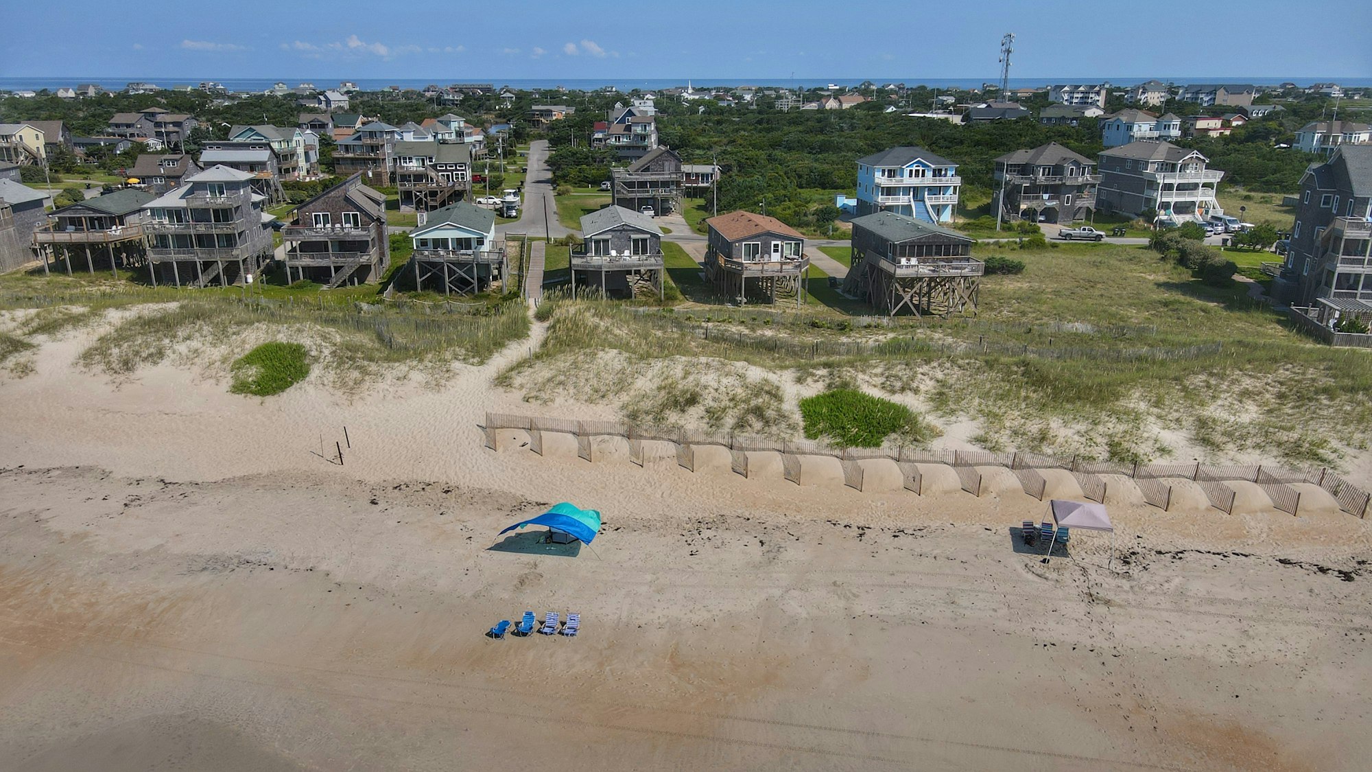
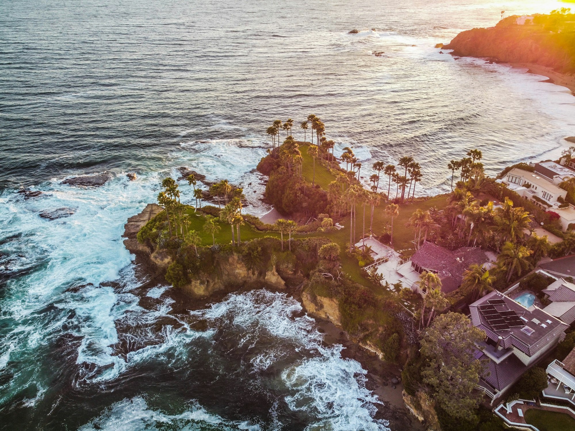
Beachfront properties and lakefront properties gain a significant advantage from aerial shots that showcase their proximity to the water. Larger properties with sprawling grounds and extensive landscaping can also greatly benefit from aerial photography, as it allows potential buyers to fully appreciate the scale and layout of the property.
Properties in desirable locations also benefit from aerial photography because it can effectively highlight their prime location. For commercial properties, location is a critical determinant of value, making it advantageous to show off this aspect.
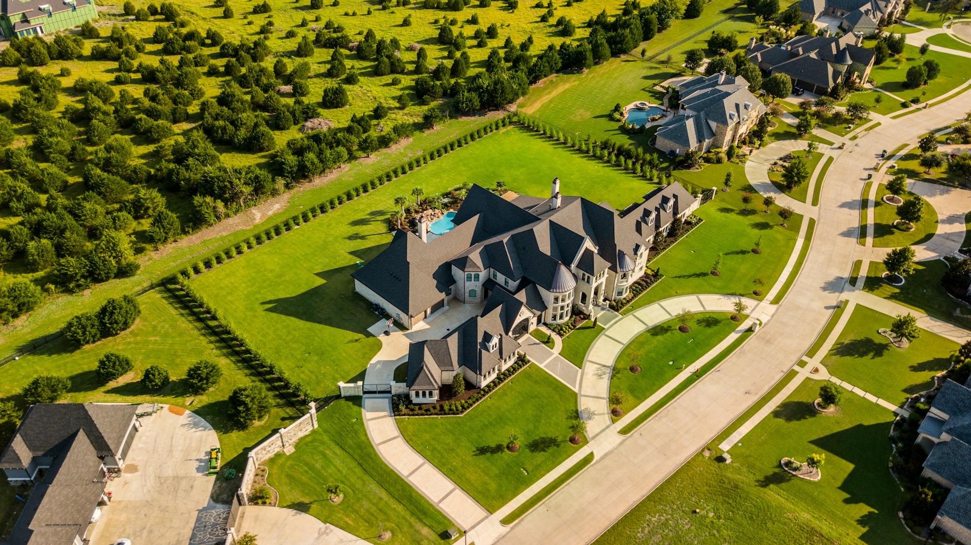
Additionally, high-end properties that boast special features like tennis courts, roof decks, pools, hot tubs, or other unique amenities can leverage aerial photography to showcase these standout elements and create a captivating visual representation.
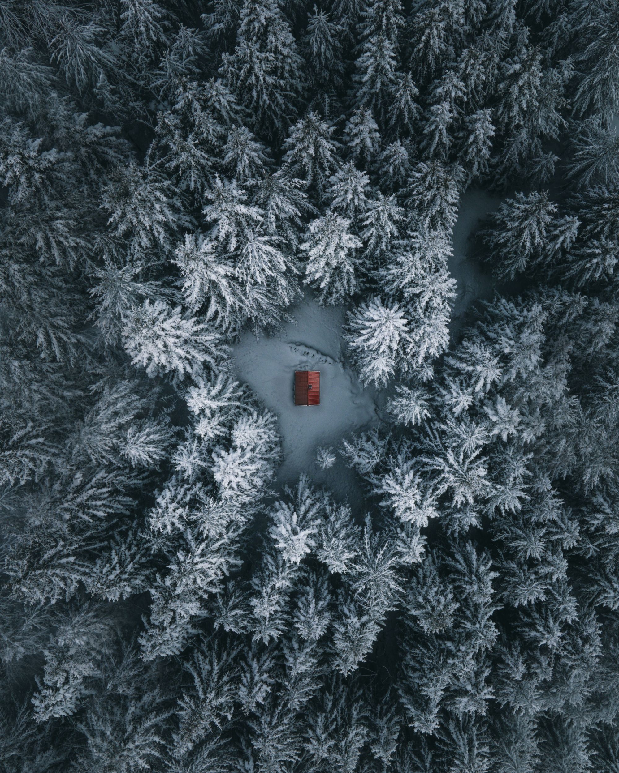
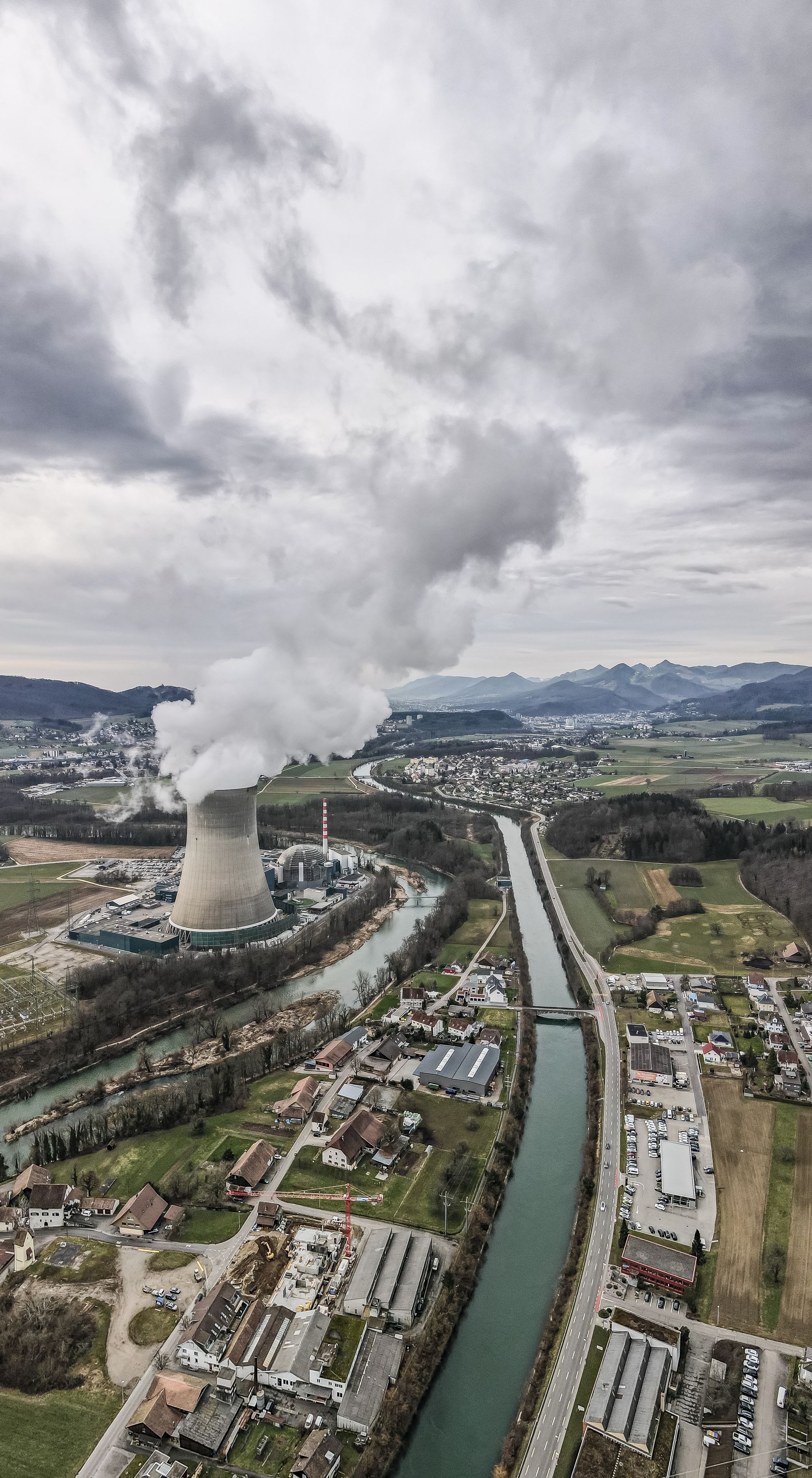
On the other hand, there may be instances where aerial photography may not be the optimal choice. For example, if your property is situated in a heavily wooded area, potential homebuyers may not be so interested in aerial shots that primarily feature the tops of trees. Similarly, if your property listing is located in close proximity to less-desirable elements, such as a power plant or a noisy highway, emphasizing these aspects through aerial photography may not be advantageous in the selling process.
By thoughtfully analyzing these factors, you can make an informed decision about whether to leverage the power of aerial photography for the real estate business.
Selecting the Best Drones for Real Estate Photography
With such a wide variety of both premium and cheap drone models available on the market, it can feel overwhelming to choose the right one. You want the type of drone that's easy to fly, has the capacity to take amazing shots, won't disappear in a puff of wind, and can endure more than a few minutes of flight time. Given this criteria, here are our top picks:
Budget-friendly:
The DJI Mini 2 is compact and affordable drone, making it an excellent entry-level option for those on a budget. Priced at around $400, it offers a good balance between affordability and performance. Customer impressions of the DJI Mini 2 have been overwhelmingly positive, with many users praising the drone's capabilities and the quality of aerial photographs it produces. Customers have found their images to be of more than acceptable quality, often remarking on the impressive level of detail and clarity captured by the Mini 2's camera.
The compact design of the Mini 2, folding to the size of a person's hand, makes it highly portable and easy to carry on your adventures. Weighing less than 249 grams, this drone falls below the weight threshold that requires registration for personal use. (If you are planning to use it for real estate drone photography work, you'll need to register it.)
Despite its smaller size, the Mini 2 doesn't compromise on essential features. It features a 12-megapixel camera capable of capturing 4K videos and impressive aerial photos. With a maximum flight time of up to 31 minutes, this type of drone also comes with intelligent flight modes and advanced safety features, making it ideal for beginners and those looking for a user-friendly experience at an affordable price.
Price: ~$450
High-performance:
The DJI Air 2S is the ultimate drone for capturing breathtaking aerial photography and videography.
One of the standout features of the DJI Air 2S is its powerful 1-inch CMOS sensor, capable of capturing stunning 20-megapixel photos and 5.4K ultra-high-definition videos. This means you can capture every detail with exceptional clarity and vivid colors, ensuring that your aerial shots truly stand out.
It has an impressive maximum transmission range of up to 12 kilometers (7.5 miles) when operating in an open and unobstructed environment. This extended range allows you to explore vast areas and capture breathtaking aerial footage from a distance.
The DJI Air 2S is also equipped with an intelligent Automatic Return to Home (RTH) feature, ensuring a safe and worry-free flying experience. With this feature enabled, the drone can automatically navigate back to its takeoff point if it detects low battery levels, loss of signal connection, or if you manually initiate the return.
Price: ~$1000
Serious Upgrade:
The advancements in features makes the DJI Mavic 3 a compelling upgrade option for those who are willing to invest significantly more. For an additional cost, the Mavic 3 delivers clearer and more vibrant aerial videos and photos, complemented by the Hasselblad-branded camera for exceptional image quality. Moreover, the Mavic 3's advanced obstacle detection technology allows it to sense and avoid obstacles from multiple directions, contributing to a safer flying experience.
During flight, the Mavic 3 employs a network of sensors to detect obstacles from the sides, front, back, bottom, and top. This comprehensive coverage enables the drone to autonomously adjust its flight path, effectively avoiding potential collisions. Unlike the Air 2S, the Mavic 3's side sensors provide additional obstacle detection capabilities.
This drone has a range of up to 18.65 miles, however it's important to note that federal regulations require you or a designated spotter to maintain visual contact with the drone at all times.
Price: ~$2,400
Potential Drawbacks of DJI:
In recent years, DJI, like other China-based brands, has faced scrutiny from the US government regarding security concerns. These concerns have prompted a closer examination of the company's practices and raised questions about the protection of user data and privacy.
Furthermore, for Android users, it's worth noting that the DJI Fly app is not available for download on the Google Play store. Instead, users are required to download the app directly from DJI's official website. This deviation from the traditional app store distribution may be seen as an additional step in terms of app installation for Android users.
Alternative:
If you're seeking an alternative to the DJI brand or are interested in a 6K camera, the Autel Robotics Evo Lite+ is a compelling choice. They are equally easy to fly compared to their DJI counterparts, with the added advantage of the well-designed Autel Sky app which offers various autonomous flight modes. However, Autel's drones may not provide the same level of features and image quality as DJI models. While the Evo Lite+ boasts a 6K, 20-megapixel camera with a 1-inch sensor, we found that DJI drones consistently delivered crisper and more vibrant colors in their images and videos.
One standout feature of the Evo Lite+ is its impressive 40-minute battery life, surpassing that of the Air 2S by 9 minutes but falling 5 minutes short of the Mavic 3. For most users, a battery life of around 30 minutes is typically sufficient, but those looking to take full advantage of the Evo Lite+'s 7.4-mile transmission range will find the extended 40-minute flight time particularly beneficial.
The Evo Lite+ incorporates obstacle sensing capabilities, detecting obstacles from the front, back, and bottom to autonomously avoid collisions. While the Air 2S adds top sensors and the Mavic 3 includes both top and side sensors, the Evo Lite+ provides reliable obstacle avoidance for a safer flying experience.
Additionally, the controller of the Evo Lite+ features a phone holder positioned above the controller, offering better visibility without needing to tilt your head too far down to check the live stream on your phone. Notably, the Evo Lite+ also impresses with its quieter operation compared to the Air 2S.
While customer reviews can vary, Autel drones are generally regarded as highly reliable and capable of capturing quality photos.
Price: ~$1,400
Operating Requirements
Just as there are rules of the road when driving a car, drone photographers are subject to rules of the sky.
In the United States, the Federal Aviation Administration (FAA) regulates the operation of drones for recreational and commercial purposes. To fly a drone legally, regardless of the purpose, individuals must adhere to certain rules and requirements.
For recreational drone flying, individuals must follow the FAA's guidelines, which include:
1. Registering the drone: Lightweight drones (weighing between 0.55 pounds and 55 pounds) must be registered with the FAA before they can be flown outdoors. To register, go to faadronezone.faa.gov. It’s fast, easy, and costs only $5.
When you register your drone, you will receive a registration number that you must put on the drone. You can engrave the number, put it on a permanent label, or use a permanent marker. Remember to carry your registration with you when operating your drone.
2. Operating within the guidelines: Recreational drone pilots should follow safety guidelines such as flying below 400 feet, keeping the drone in sight at all times, avoiding flying near other aircraft, and respecting airspace restrictions and designated no-fly zones.
3. Flying responsibly: Drone operators should exercise caution and ensure they are not endangering people, property, or other aircraft while operating the drone. It is essential to be mindful of privacy concerns and respect the privacy of others when flying the drone.
Commercial drone operators (which includes professional aerial photographers) need to obtain a commercial drone license from the FAA. To qualify for this certificate, you must pass an aeronautical knowledge test and comply with additional regulations, including:
1. Registering the drone: Similar to recreational drone flying, commercial drone operators must register their drones with the FAA.
2. Obtaining a Remote Pilot Certificate: Commercial operators must pass the FAA's Aeronautical Knowledge Test to demonstrate their understanding of aviation regulations, airspace restrictions, and safe operational practices.
3. Complying with Part 107 regulations: Commercial drone pilots must follow Part 107 regulations, which include operating within visual line of sight, flying during daylight or civil twilight, respecting airspace restrictions, and adhering to specific flight altitude and speed limitations.
By adhering to these rules, individuals can enjoy flying drones safely and responsibly.
How to Prepare Real Estate Listings for Drone Photography
For optimal photos, ensure that:
- all people are out of the shot
- cars are out of the driveway
- trash cans are tucked away or positioned at the side of the house
- patio cushions are in place
- umbrellas are up
- pool cleaner is removed
- hot tub is open
- airspace is clear
- you have appropriate clearance (if you need it)
- you are aware of any obstructions in the area
Optimal Weather Conditions for Drone Photography
The optimal weather condition for drone photography is typically a calm and clear day with minimal wind, mild temperatures, and good visibility. These conditions provide several benefits for capturing high-quality aerial photographs:
Calm winds: Stable and gentle winds are essential for maintaining stability and control of the drone during flight. Windy conditions can make it challenging to capture steady and smooth shots, potentially affecting image and video quality.
Clear skies: Clear skies allow for better visibility and lighting conditions. The absence of clouds or heavy fog ensures that the subject of your photographs is well-illuminated, with minimal shadows or obstructions.
Mild temperatures: Extreme temperature conditions, such as excessive heat or cold, can impact the performance of both the drone and its batteries. Optimal temperatures help ensure the drone operates efficiently and maintains its flight time.
Good visibility: Clear visibility is crucial for maintaining visual contact with the drone and identifying potential obstacles or hazards in the surrounding area. This helps ensure safe and precise maneuvering during flight.
While these weather conditions are generally considered ideal, it's important to assess the specific requirements of your drone model and consult local regulations and guidelines for safe flying. Always prioritize safety and adhere to any restrictions or precautions imposed by local authorities or aviation governing bodies.
What is the best time of day for drone photography?
The best time of day for drone photography is during the golden hour, which occurs shortly after sunrise or before sunset. This time period offers stunning lighting conditions that can enhance the visual appeal of your aerial photographs. Here's why the golden hour is highly recommended for drone photography:
Soft and Warm Light: During the golden hour, the sun is positioned low on the horizon, resulting in soft, diffused light. This creates a warm and golden hue that adds depth, richness, and a pleasing aesthetic to your images.
Long Shadows and Texture: The low angle of the sun during this time creates long and dramatic shadows, adding depth and dimension to your photographs. It also accentuates textures, making landscapes, buildings, and other elements appear more detailed and captivating.
Vibrant Colors: The golden hour enhances the saturation and intensity of colors, making them more vibrant and captivating. This adds a touch of magic to your photographs and brings out the natural beauty of the scene.
Reduced Harsh Contrast: Compared to shooting in the midday sun, the golden hour offers a more balanced contrast between highlights and shadows. This makes it easier to capture well-exposed images with a wider dynamic range, minimizing overexposed or underexposed areas.
While the golden hour provides excellent lighting conditions, it's worth noting that drone photography can be enjoyed throughout the day. Different times of the day offer unique lighting and mood, allowing you to capture diverse perspectives and scenes. Ultimately, the best time for drone photography depends on the specific subject, desired atmosphere, and creative vision you want to achieve.
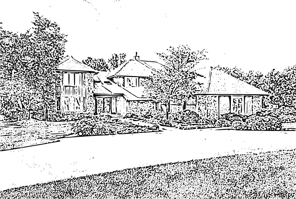
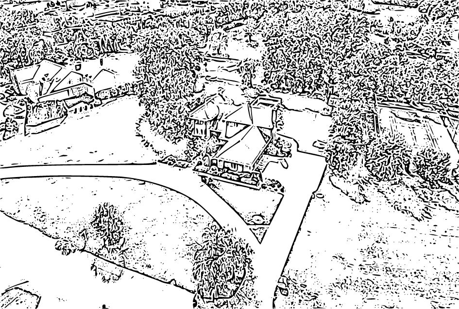
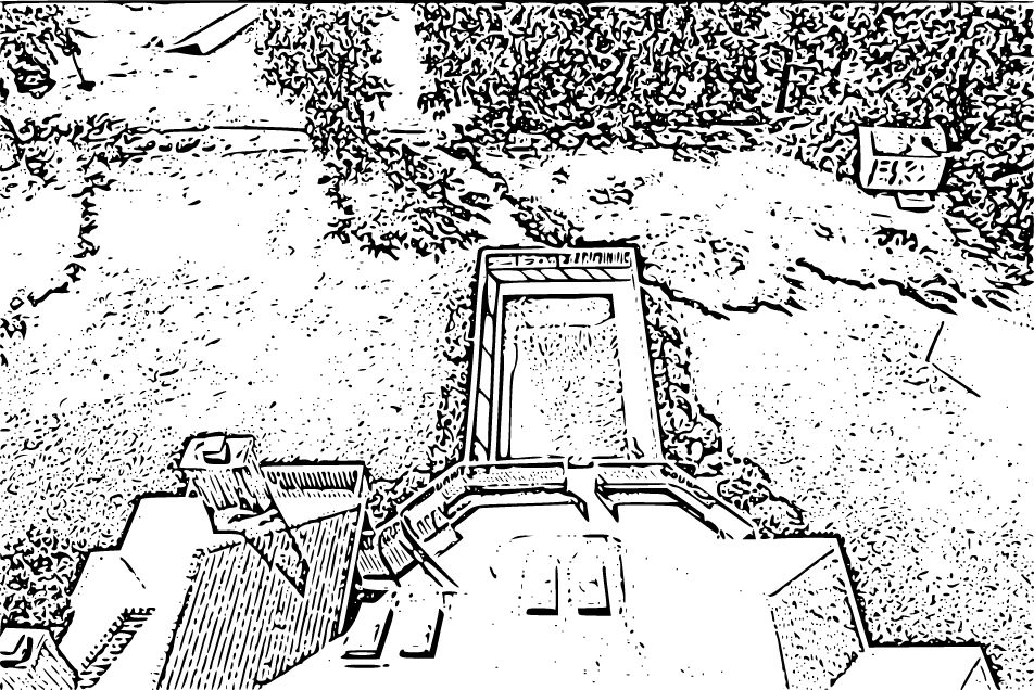
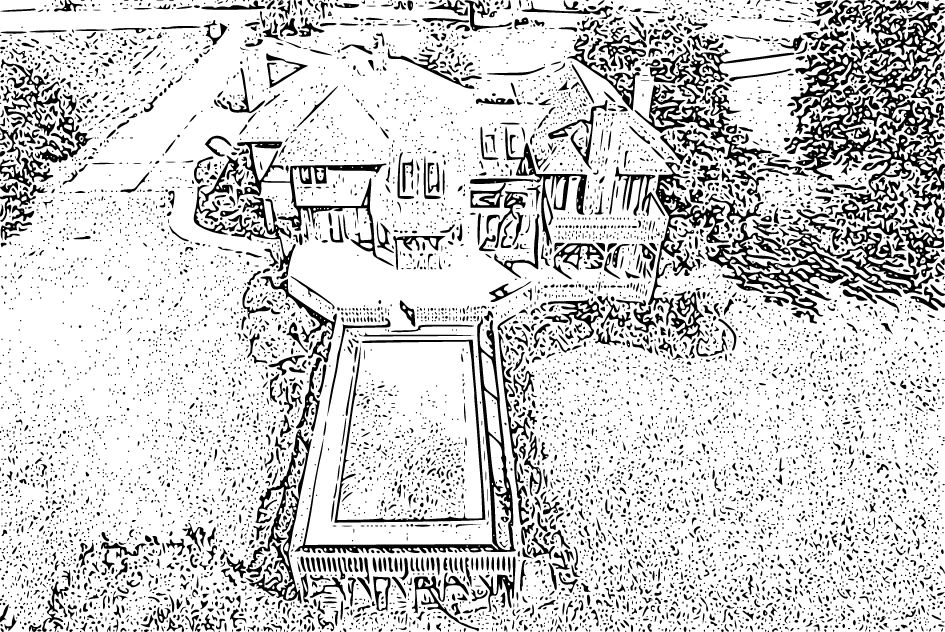
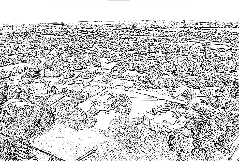
How to Capture All the Necessary Angles
Capturing excellent drone photos for a real estate photography business requires planning, but fortunately, we have a tried-and-true formula which will ensure you get good coverage from a variety of angles and elevations. We recommend the following shot list for aerial drone footage:
1. Level with the home (straight on)
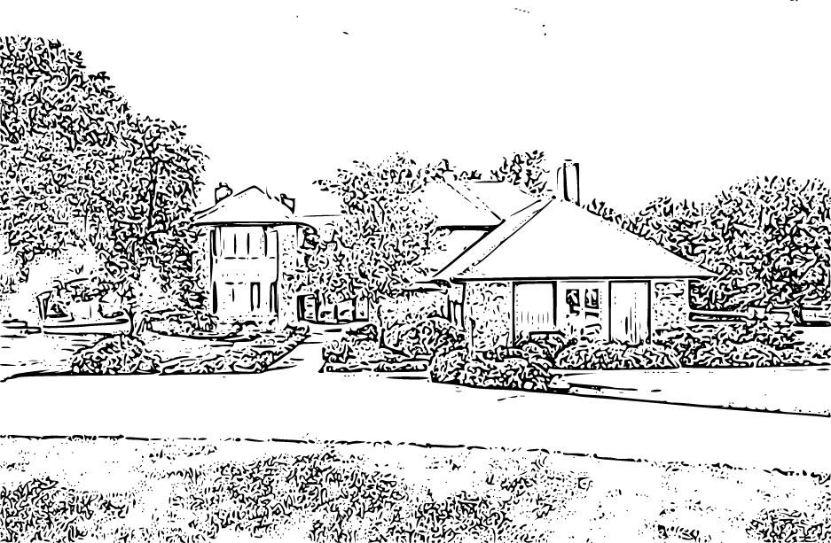
2. Level with the home (side shot)
*Some properties may have a "bumpout." A bumpout refers to an architectural feature that involves extending a section of a building, such as a room or an alcove, beyond its main footprint. We recommend taking this shot opposite the bumpout.
3. Straight on but from a higher elevation
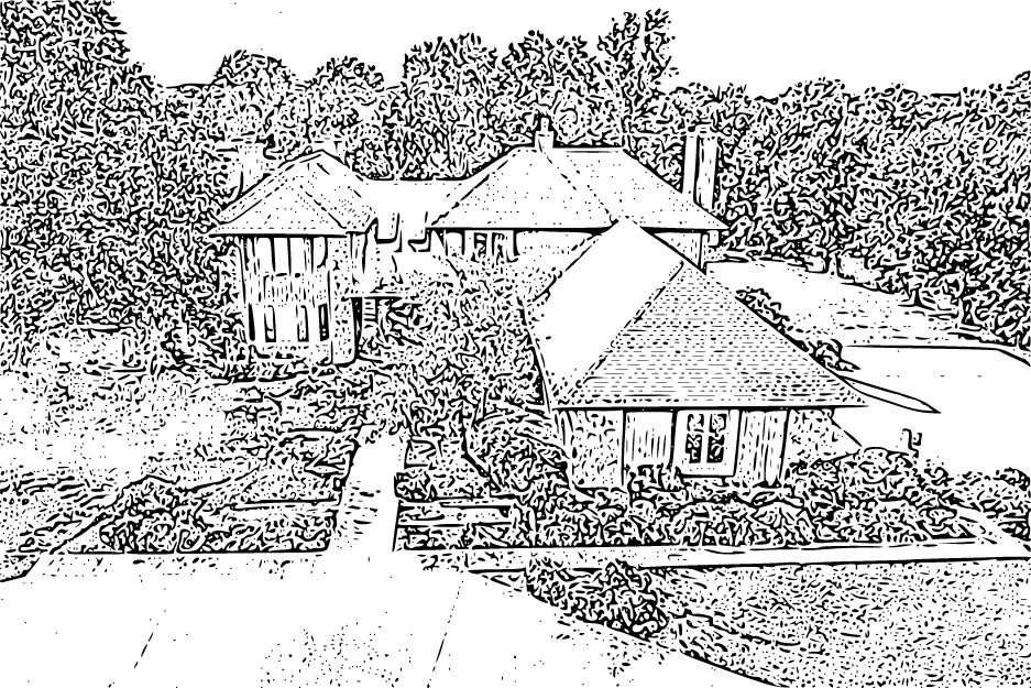
4. Side shot from a higher elevation
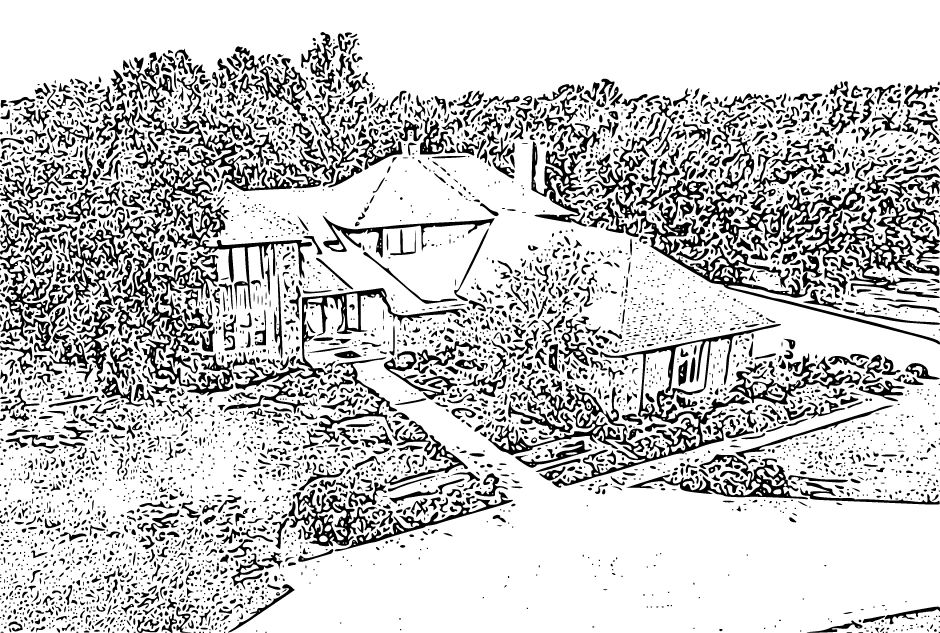
5. Straight on from an elevation that showcases the entire property area
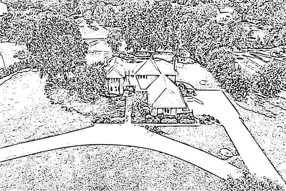
6. Angled shot that showcases the entire property
7. Fly over the roof and shoot the back
*This will allow prospective buyers to get a sense of what the homeowner will see when they step out the back door.
8. Back (level with the property listing)

9. Back side (level)
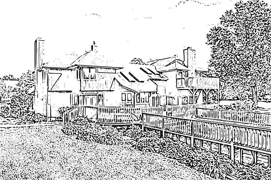
10. Back straight on from a higher elevation
11. Back angle from a higher elevation

12. Back side view from a higher elevation

13. Top down to show property boundaries
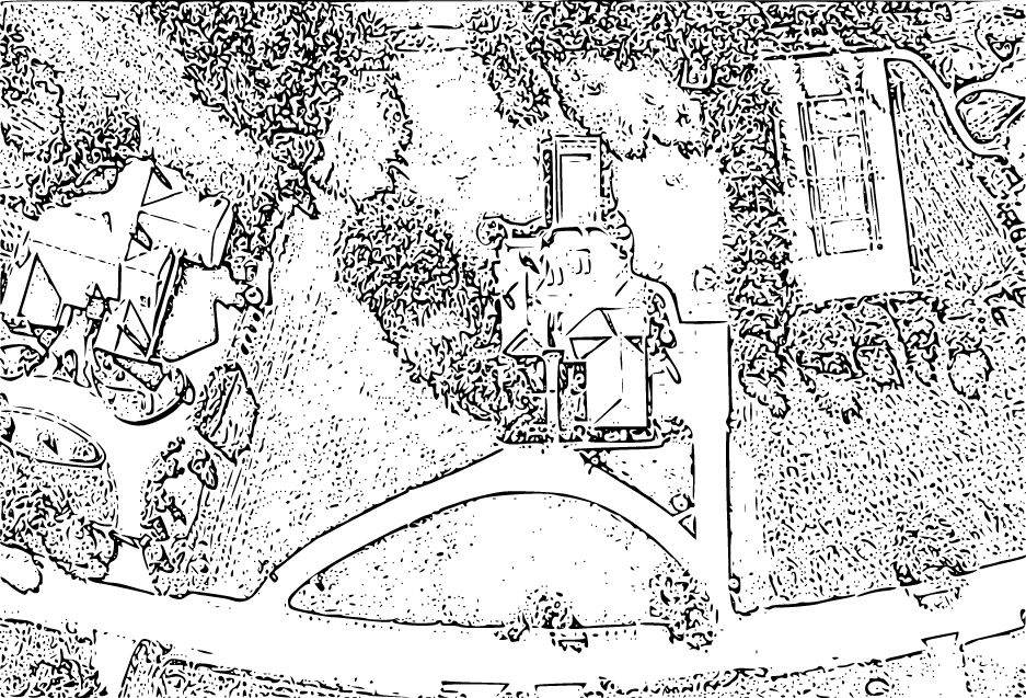
15. 2 proximity shots which give a sense of the surrounding area
*We suggest putting the property listing in the lower third of the frame.
16. Any extra photos the property might warrant (ex: if its next to a lake or has some special feature)
Aerial Drone Photography Pricing
Aerial drone photography pricing can vary depending on location, complexity of the project, duration of the shoot, experience, and reputation.
Generally, licensed drone pilots typically charge $150 to $400 per hour. However, it's important to note that this is just a rough estimate, and actual rates can be higher or lower depending on the specific circumstances.
Some aerial photographers may also offer package deals or discounted rates for multiple properties or ongoing collaborations. Factors such as post-processing, professional editing, and delivery of drone video footage may also affect the overall cost.
If you're struggling to figure out how to price your drone photography services, we recommend watching this video.
In Conclusion:
Drone technology allows you to capture 360-degree angles and showcase properties in a way that was once only possible using a helicopter or airplane. Embracing this technology not only enhances the quality of your work but also expands your business opportunities and allows you to attract higher-paying clients. By implementing the knowledge and tips shared in this guide, you can elevate your real estate photography business and soar above the competition with the aid of drones.